
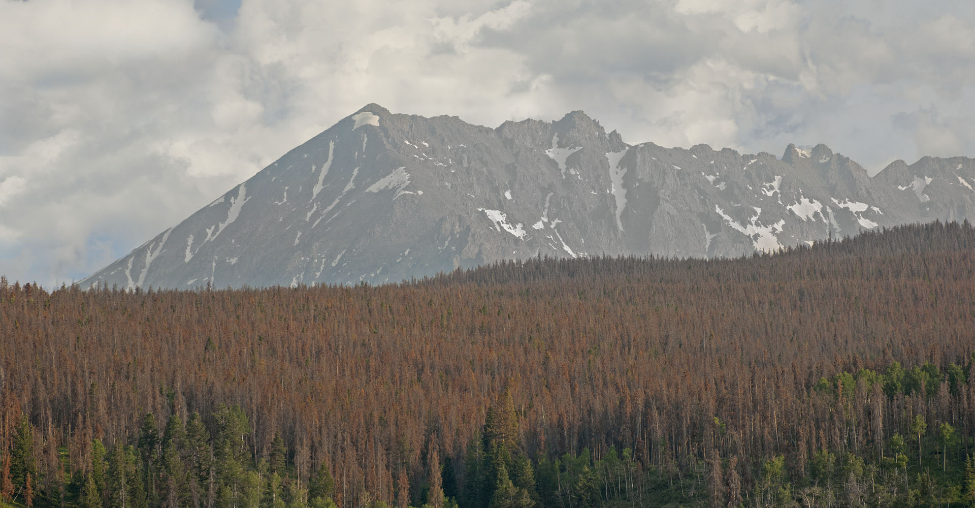
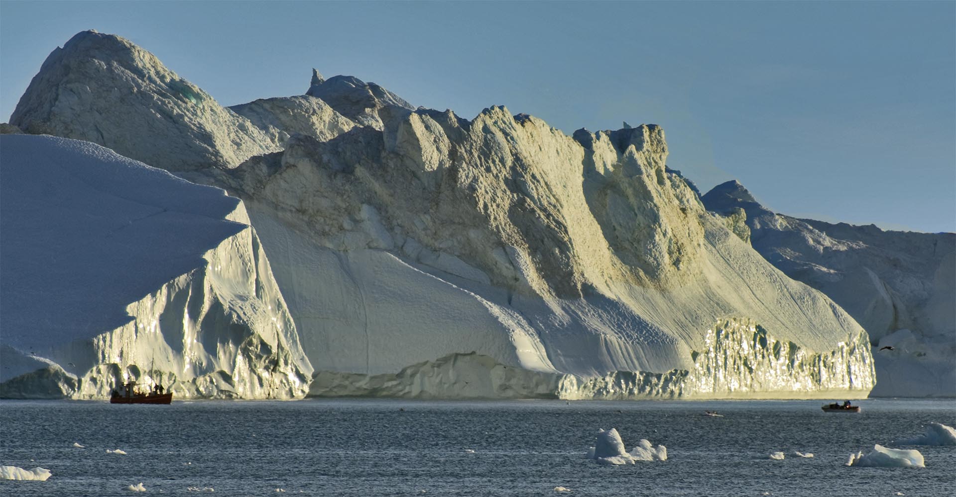
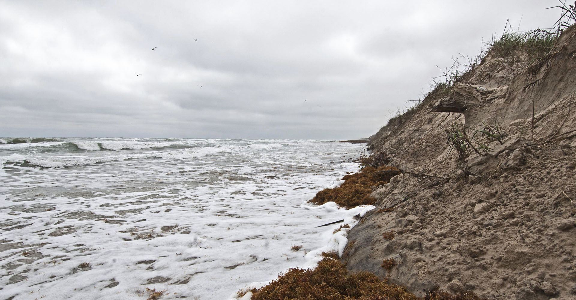
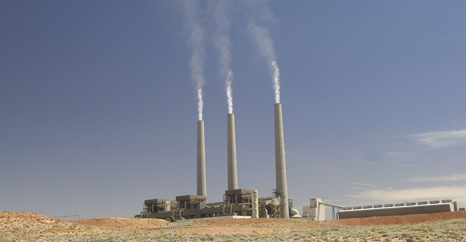
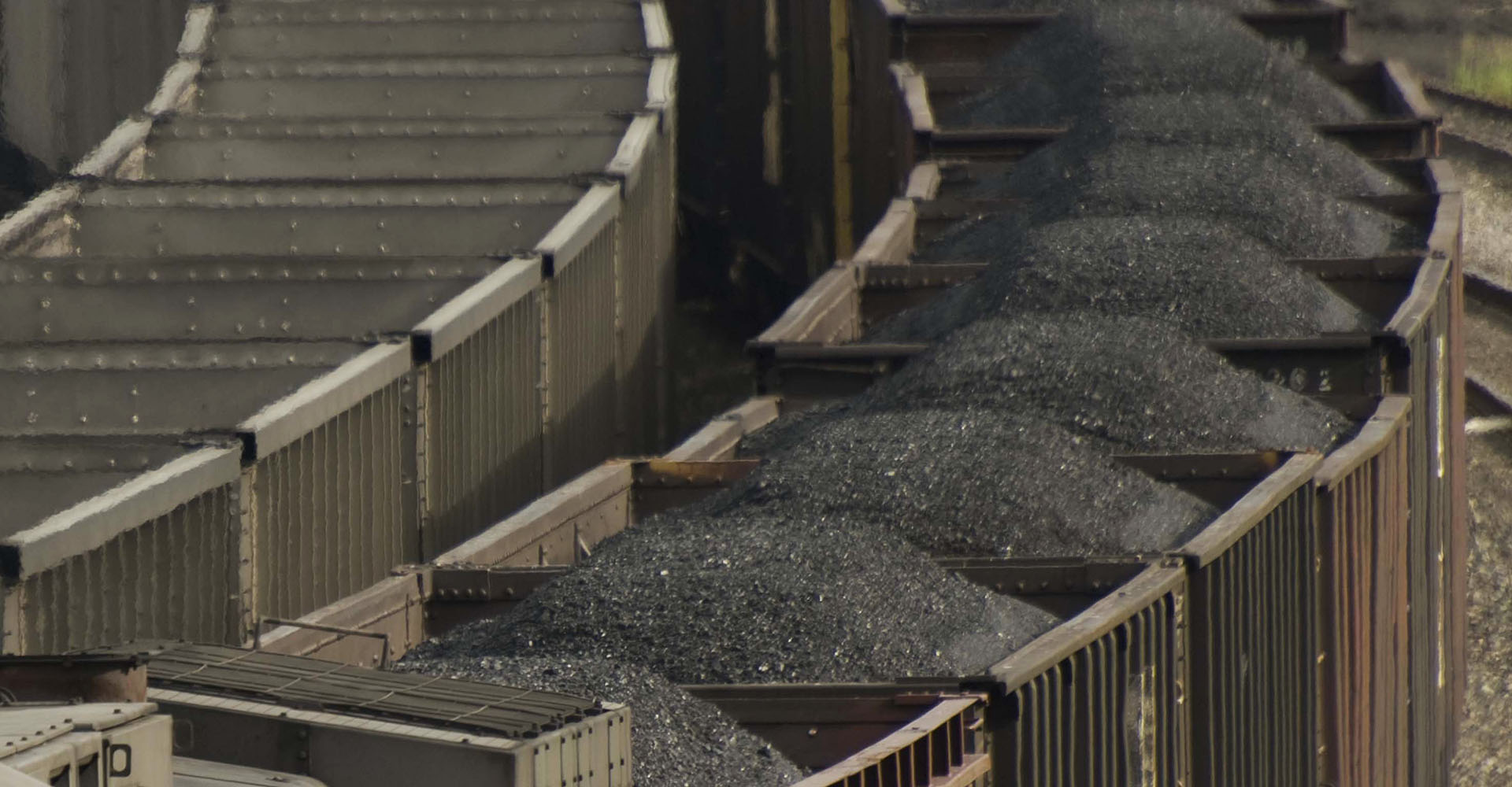
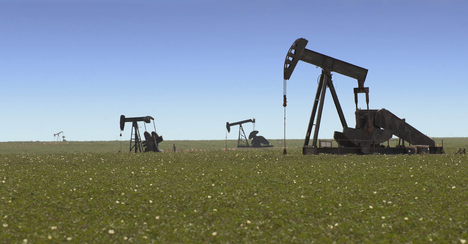
The perceived debate has devastated traditional climate science education The solutions however, are not what they seem New technologies are vastly more cost effective than this "perceived debate" implies Climate Change ... and will get much worse faster Are as bad -or worse- than they seem because of previous delay Impacts are no more costly than what we spend on advertising every year... Solutions Climate Discovery brings you the real science More robust than every before Using plain English The written word For more, swipe on, scroll down or click the menu From the field and from academia Films and music 92 million acres of forest killed: by a native beetle gone berserk because of warming. 500% increase: Greenland ice loss ... in last 10 years. Previously stable beaches already gone ... during normal, non-storm conditions. Research now shows that global cooling smog from coal has masked more than half of current warming that should have already occurred. reveals the masked warming creating more warming than if we did nothing at all. -- when emissions of sulfates cease in the next 20 to 30 years Killing Coal Leave it in the ground Take it out of the sky Hurry... ... We do not have time to wait any longer Climate Discovery and the We make the science clear. Climate Change Now Initiative:

Solutions Our Films In-depth Knowledgebase Galleries Knowledge Base Lines blur between climate change and reality

New 30-year Climate Averages Obscure Climate Change Even More

By Temperature

Every ten years NOAA recalculates their average temperature. the average temperature is what we hear every night on television when the weathergirl says “the normal low temperature today was fourtysomething (or whatever).” NOAA, the parent organization of the National Weather Service, supplies these “normal temperatures. They are based on the average temperature for the high…

Read More

Rain! sort-of…

By Drought

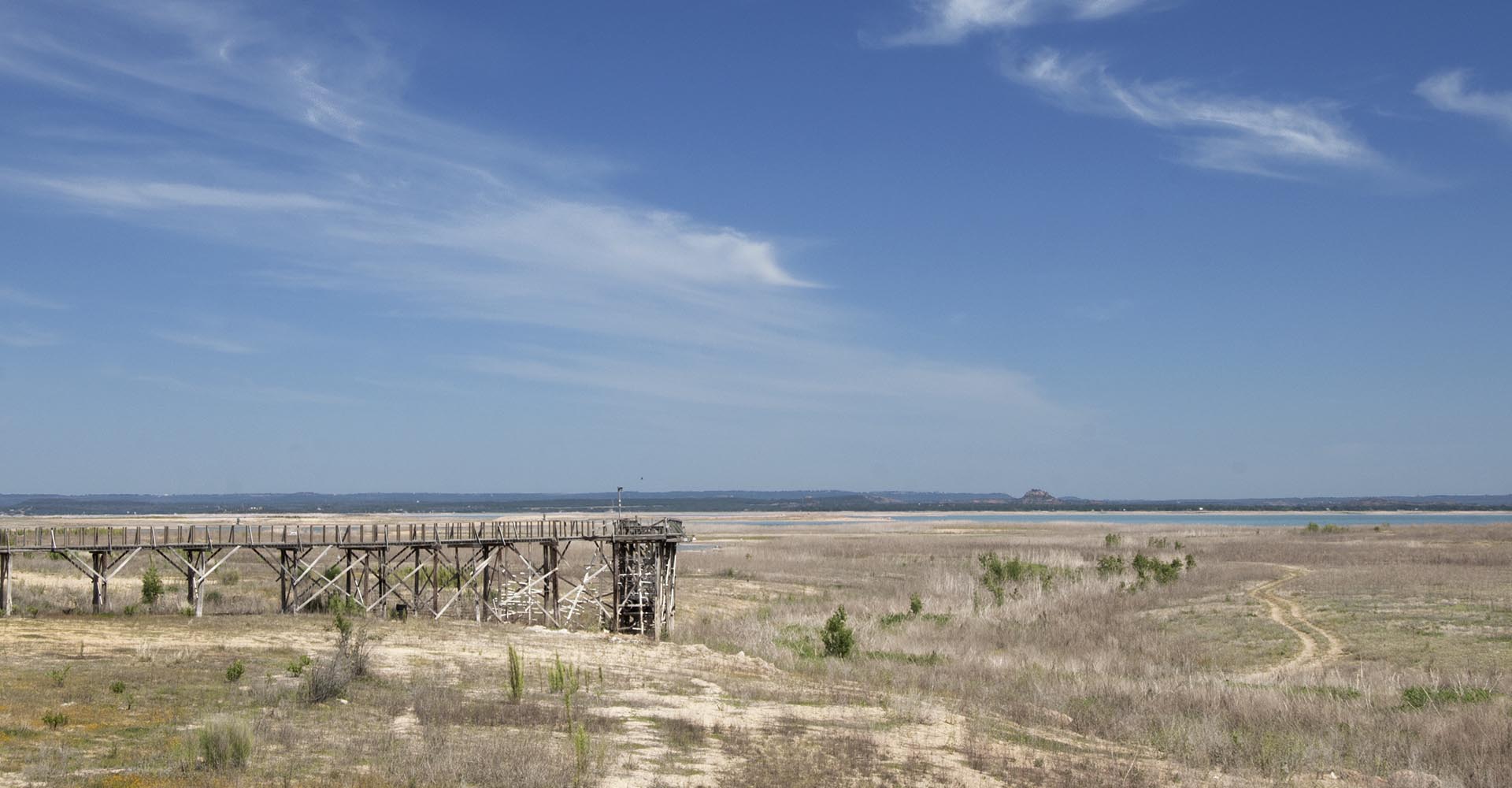
247 of  Texas’ 254 counties are under Texas Forest Service burn bans. In Austin we have only had 50% of our normal annual rainfall (9 inches behind) and we are about 60 percent behind for the last 10 months. We have had 36, 100-degree days so far this year and our normal is 12 days…

Read More

The Next Worst-Case Scenario: RCP 8.5

By Scenarios

We have more acronyms for your increased state of general confusion.  The AR5 is coming up (Assessment Report 5) to be relapsed by the IPCC in 2013 (Intergovernmental Panel on Climate Change.)  This generation’s report will look at newly created scenarios that more appropriately simulate atmospheric physics than the current scenarios. Scientists are leaving behind…

Read More

Siberian Permafrost Venting could Trigger Abrupt Climate Warming Warns National Science Foundation

By Permafrost

Climate Progress quote: "NSF issues world a wake-up call: “Release of even a fraction of the methane stored in the shelf could trigger abrupt climate warming.” Science 5 March 2010: Vol. 327 no. 5970 pp. 1246-1250 DOI: 10.1126/science.1182221 Report Extensive Methane Venting to the Atmosphere from Sediments of the East Siberian Arctic Shelf http://www.sciencemag.org/content/327/5970/1246.abstract Climate…

Read More

Oxygen Depletion Extinction Events During Greenhouse Oceans

By Uncategorized

From Science Daily: "What’s alarming to us as scientists is that there were only very slight natural changes that resulted in the onset of hypoxia in the deep ocean," said Professor Kennedy. "This occurred relatively rapidly — in periods of hundreds of years, or possibly even less — not gradually over longer, geological time scales,…

Read More

Global Deforestation from Insects, Disease, Wildfire, Drought Kill – Dwarf Emissions from Third World Agriculture Deforestation

By Forest Mortality

The World Wildlife Fund says that we could lose 57 billion acres of forest to development and agriculture by 2050. There is NO mention of loss of forests due to climate change in their new report. Even though, 64 million acres are dead from a climate change induced insect attack in the North American Rockies….

Read More

2010 All weather today is Caused by Climate Change Because, Our Climate has Changed as per One of the Most Important Climate Scientists in the World

By Extreme Weather

April 30,    More and more scientists are finally making the realization that this common excuse for the wicked climate change induced extremes of weather we have been having are actual ALL being caused by climate change. Today in real climate science land, "we can not tell if any one individual weather event is caused…




Read More

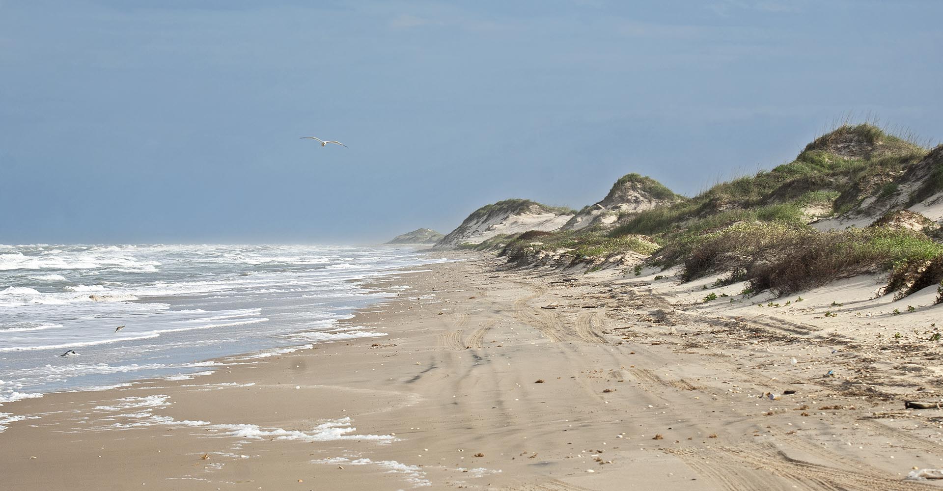
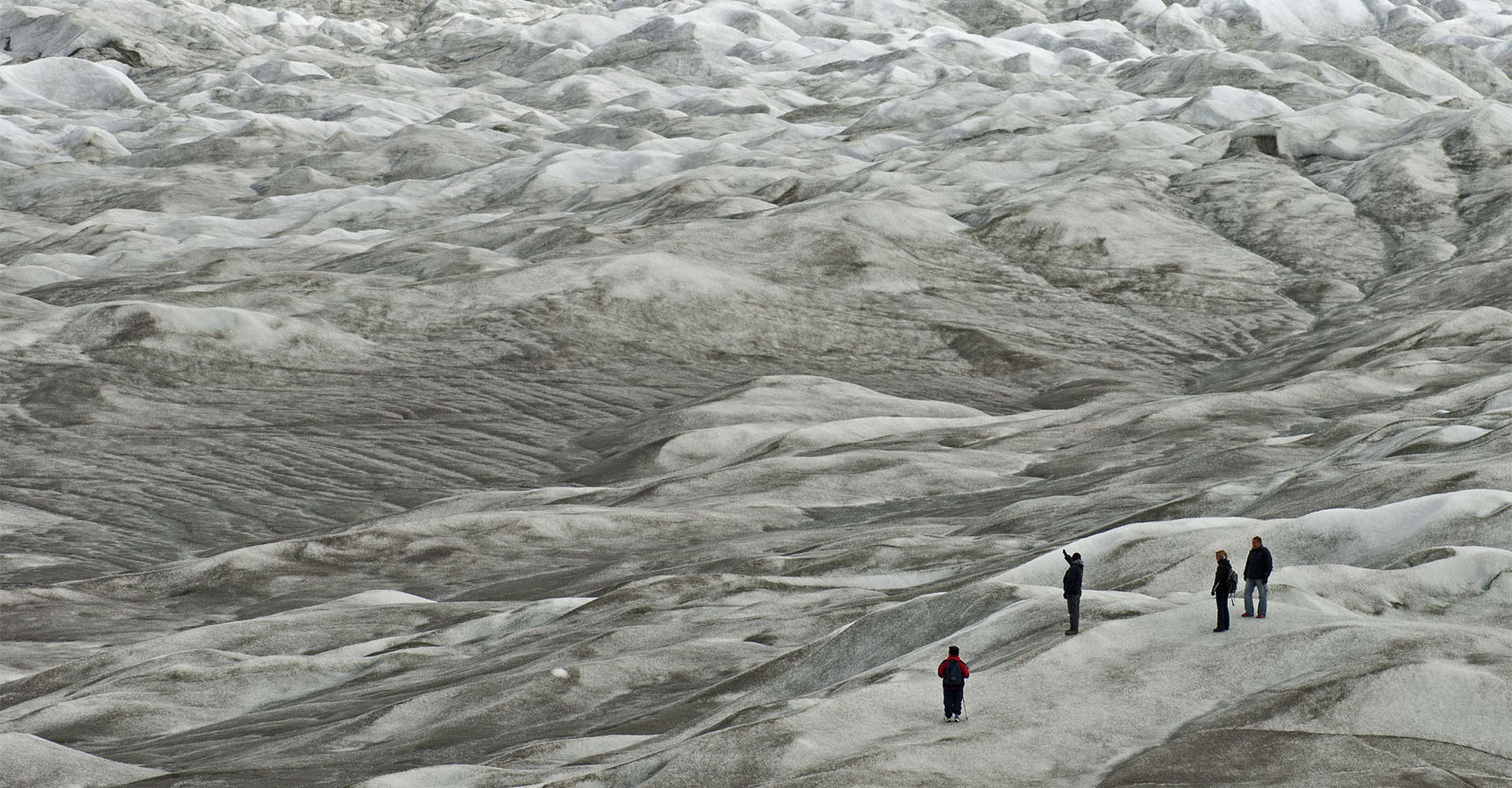
Red kill: Rocky mountain pine bark beetle, Steamboat Lake, Colorado Red kill: Rocky mountain pine bark beetle, Silverthorne, Colorado Red kill: Rocky mountain pine bark beetle, Rocky Mountain National Park, Colorado. Red kill: Rocky mountain pine bark beetle, North of Steamboat Springs, Colorado Pitch tubes: A tree's only defense against bark beetles. Pheromones, or natural beetle hormones, both attract and repel beetles and can be used as defense. Pesticides work too, but application timing is critical and spraying the world is likely improbable. Gray kill: During the first three years needles are bright red, brown and then fall off entirely. Only cold of -20 to -40 straight, in early and in mid winter respectively, can kill the beetle. Those temperatures disappeared about the turn of the 21st century. In areas of human occupation, dead trees become falling hazards quickly and must be removed. Blue slashes and flagging mark trees to be cut. These are white bark pine in Yellowstone National Park. Logged beetle kill, Prospector Campground, Dillon Reservoir, central Colorado. for up to about five years the dead wood can be used for lumber early and pelletized fuel late. After that the tops of the trees are too brittle and fall on logging machinery and loggers. Red kill: Rocky mountain pine bark beetles once attacked mostly lodgepole pines like these in Rocky Mountain National Park. Now there are so many beetles they are attacking even spruce trees. The scale of the kill is immense at more than 20 times greater than anything before. The attack is at 92 million acres.For comparison, Yellowstone is two million acres. Permafrost melt, Denali Highway, Alaska. Tree kill from soil saturation due to melted permafrost. East of Fairbanks, Alaska. Permafrost meltwater pool and drowned trees near Chena, Alaska. Permafrost meltwater ponds, Denali Highway, Alaska. Permafrost meltwater pond, Fairbanks, Alaska (within city limits). A meltwater river flows from beneath the Greenland Ice Sheet. The dark ice is dust from eons of accumulation and surface melt. Ice loss in Greenland has increased over 500 percent in ten years. Surface melting creates a very rough, surface where accumulated dust does not wash away. These drifts are solid ice. Around the perimeter of the ice sheet at low elevations the ice is melting tens of feet per year or more. The scale of melt is immense. This moraine is 100 feet high and the ice once towered over it. The ice flows in rivers and tongues and colder, drier times with more dust can be seen in the layers of older ice, closer to the edge. Also note how much lower the surface is than the moraines deposited along the margins of the ice. Most of this melt is recent as the ice has been in equilibrium since the Little Ice Age that ended 150 to 200 years ago. Less than a mile from its edge the ice sheet can be 1,000 feet tall. At it's center it is 11,000. The calving face of the ice sheet can be over 200 feet tall. The light is fantastically ever changing. Ilulissat Icefjord: Millions of icebergs , five times more than at the turn of the century, pour through Greenland's icefjords. Meltwater drains to the bottom of the ice sheet through holes, or moulins. There it lubricates the flow of the ice sheet, further increasing discharge of bergs. Bubbles of ancient air trapped in the ice have confirmed many hypothesis about how and when our climate has radically changed before. Bergs calve like thunder from massive ice cliffs at all hours of the day. Beach erosion is rapidly accelerating on Padre Island. Mile 30 beyond the 4x4 only sign. This beach was once 200 to 300 feet wide. Padre Island National Seashore, mile 7. Most of the erosion has been recently. Mile 50, Padre Island National Seashore. Padre Island is sinking naturally with little man made subsidence, but before the turn of the 21st century, it wasn't enough to cause massive beach erosion. Sand starvation from inland reservoirs plays a role too, but historically these beaches have been stable. South Padre Island has a little more trouble with more sand starvation from the Rio Grande and less rainfall to grow stabilizing dune grasses. Here, in places erosion is extreme. this is high tide, non-storm conditions. Several places along South Padre have been eroding more or less since the dams went up on the Rio Grande, but since the turn of the century the rate has likely increased significantly. October 2014, King tide, biggest tide of the autumn. Again in 2014, no storms of any consequence on the Texas Coast. Erosion down by the Mansfield jetties is much greater than in 2013. The worst on North Padre in 2013 was a few miles from the Mansfield Pass jetties in the sand starvation zone. The beach has never been wide here and during storms is often the first to erode. But normally, the beach builds back. This erosion is happening in non-storm conditions. At times the four-wheel drive trail is challenging. South Padre, Mile 13 beyond end of pavement. This is the first stage of barrier island disintegration. The beach goes first. The beach protects the dunes, which in turn protect the rest of the island.






























