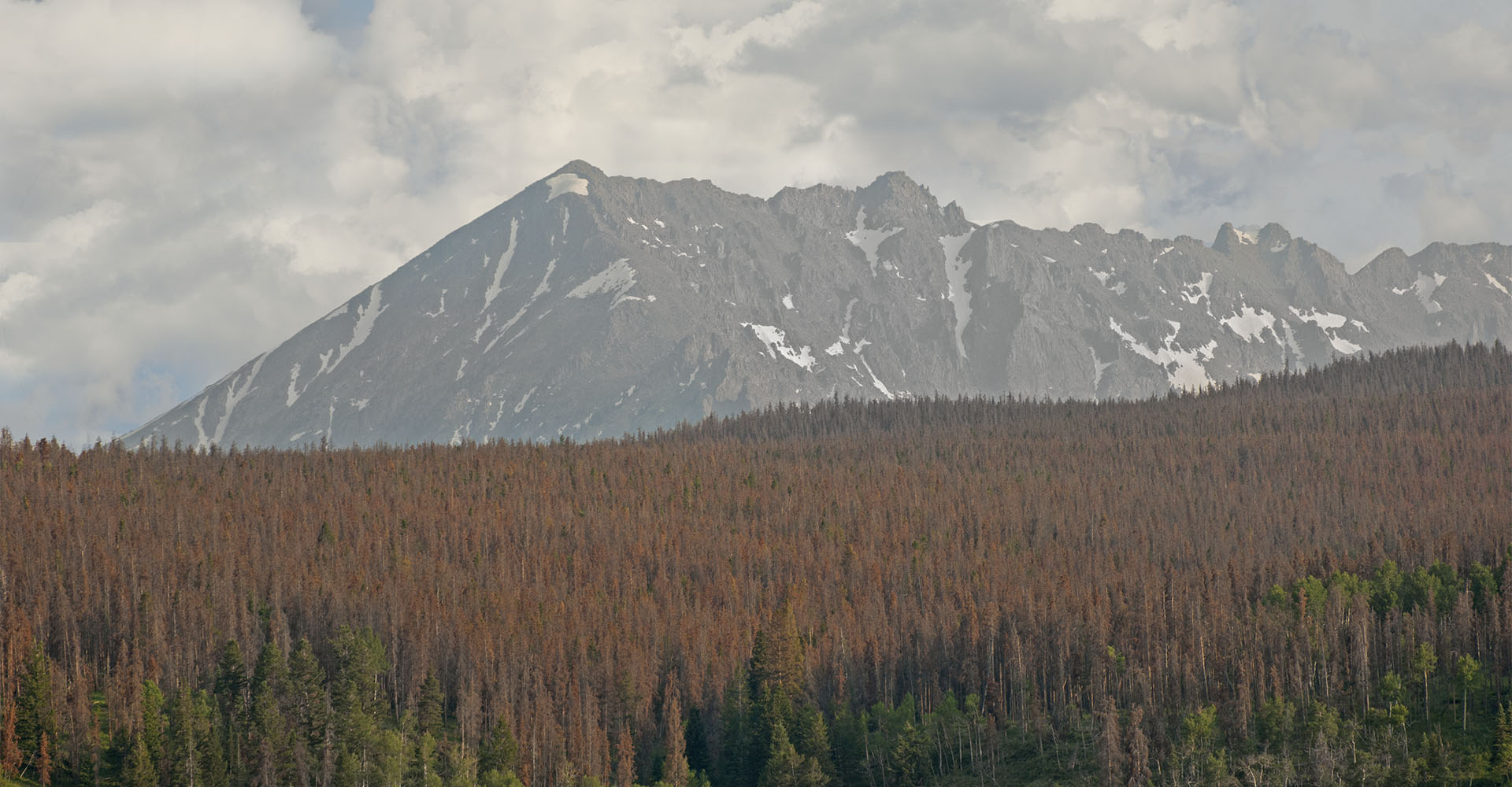
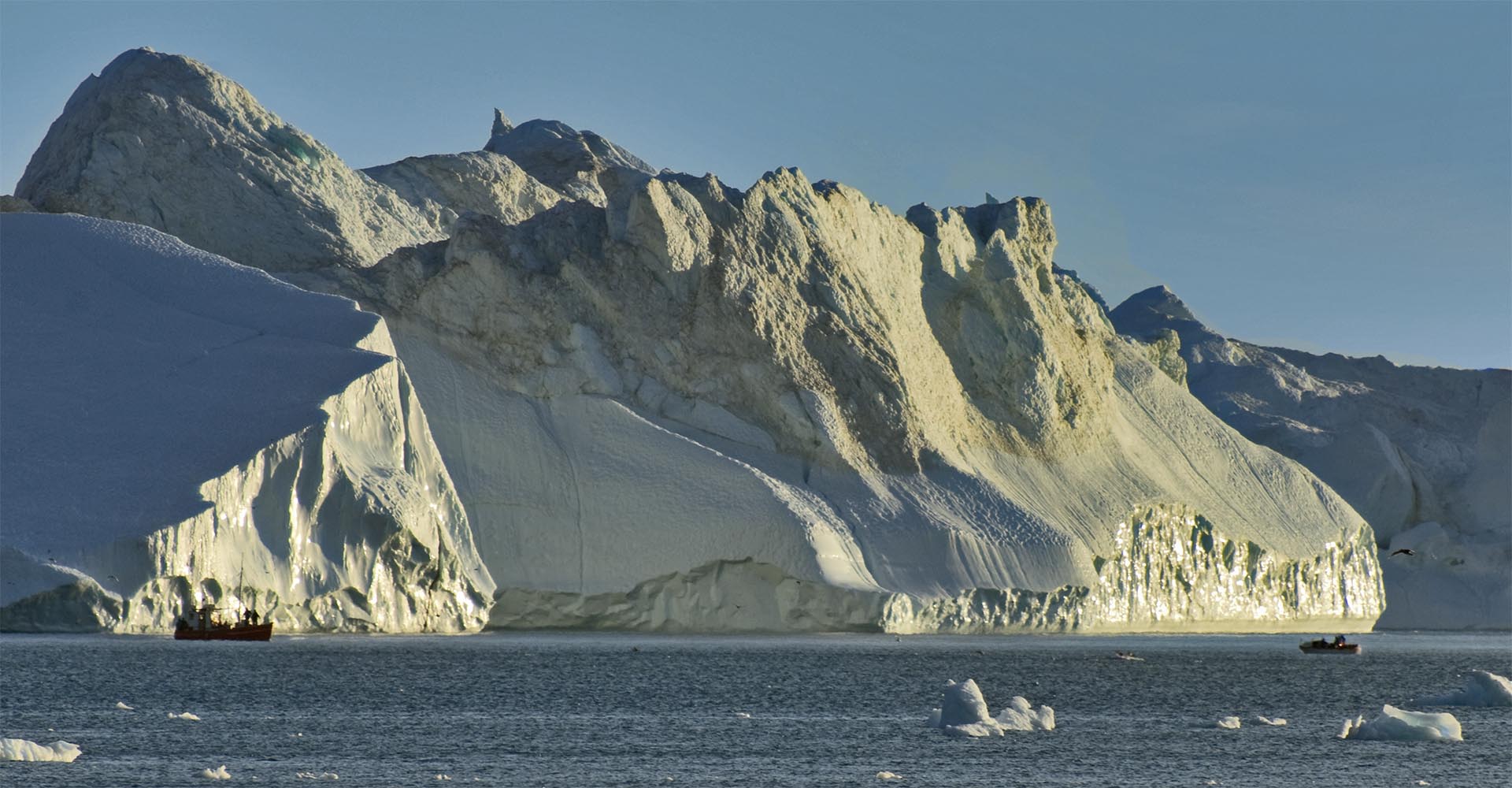
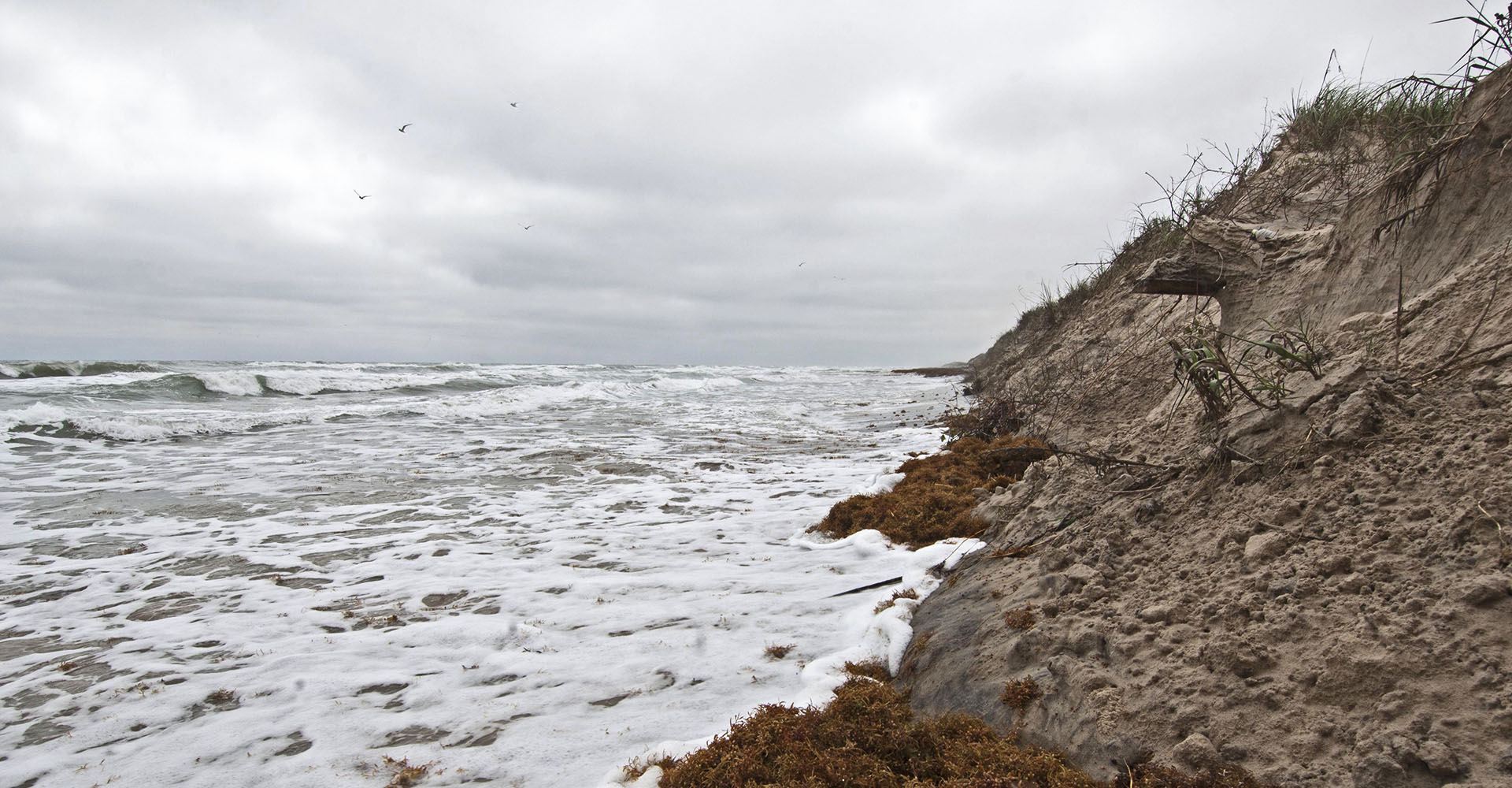
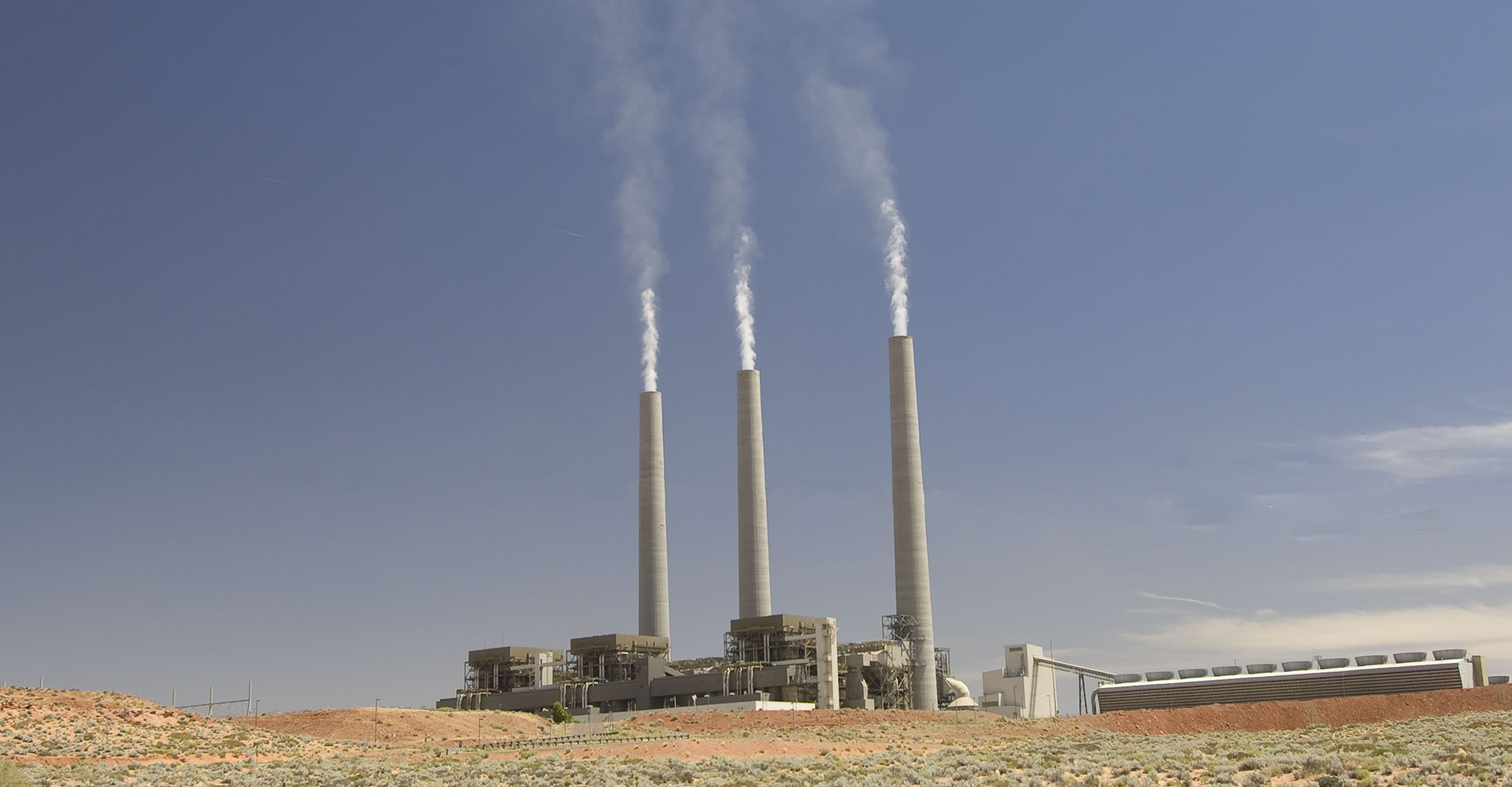
The perceived debate has devastated traditional climate science education The solutions however, are not what they seem New technologies are vastly more cost effective than this "perceived debate" implies Climate Change ... and will get much worse faster Are as bad -or worse- than they seem because of previous delay Impacts are no more costly than what we spend on advertising every year... Solutions Climate Discovery brings you the real science More robust than every before Using plain English The written word For more, swipe on, scroll down or click the menu From the field and from academia Films and music 92 million acres of forest killed: by a native beetle gone berserk because of warming. 500% increase: Greenland ice loss ... in last 10 years. Previously stable beaches already gone ... during normal, non-storm conditions. Research now shows that global cooling smog from coal has masked more than half of current warming that should have already occurred. reveals the masked warming creating more warming than if we did nothing at all. -- when emissions of sulfates cease in the next 20 to 30 years Killing Coal Leave it in the ground Take it out of the sky Hurry... ... We do not have time to wait any longer Climate Discovery and the We make the science clear. Climate Change Now Initiative:

Solutions Our Films In-depth Knowledgebase Galleries Knowledge Base Lines blur between climate change and reality

A Photo Journal of Climate Impact Across America, Nov 30, 2023 – Healthy Planet Action Coalition

By Abrupt changes, Alaska, Beach Report, Beaches coastal, Drought, Earth systems, forest health, Forest Mortality, Glaciers, in-depth and Popular Press, Permafrost, Permafrost melt, pine beetle, Podcasts, Presentations, Sea Level Rise, Shifting Ecology

Healthy Planet Action Coalition November 30, 2024 Climate Change Across America Slide Show (Download the slideshow here https://climatediscovery.org/climate-change-across-america-photographic-review-powerpoint-342-slides/ or click on the image above to see the presentation given by Melton. A 342 slide photojournal of climate impacts across North America. Join Bruce Melton PE as he tells the story of impacts from Padre Island…

Read More

The Last Year Below 1.5 C – Remarkable Warming Acceleration In 2023 Surpasses the Dangerous Warming Threshold

By Abrupt changes, aerosols, climate emergency, climate restoration, climate solutions, feedback, in-depth and Popular Press, Point of No Return, Temperature, The Unexpected, Tipping, Truthout.org

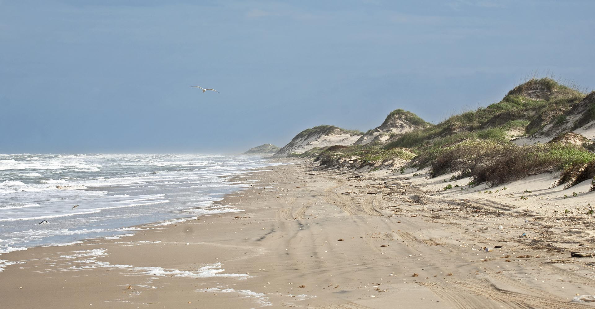
Image: The “Flats” on the back side of Padre Island in South Texas. Just inches above sea level, these flats are mostly gone today from sea level rise. The Last Year Below 1.5 C – Remarkable Warming Acceleration In 2023 Surpasses the Dangerous Warming Threshold The Global 1.5 °C Climate Change Threshold Was Unexpectedly Exceeded…

Read More

Worst Drought Ever in the Amazon, Caused By Climate Change

By Abrupt changes, Drought, Earth systems, Emissions flip, forest health, Forest Mortality, Impacts, Point of No Return, Shifting Ecology, Tipping

Worst Drought Ever in the Amazon, Caused By Climate Change The fifth, 100-year drought since 2005 has struck the Amazon in 2023; this one more extreme than any of the previous events. Each of these droughts except one were more extreme than the previous. These were 2010, 2015/2016, the smaller one in 2020, and the…

Read More

Climate Emergency Hope for 2024

By Extreme Weather, Heat, Impacts, Temperature, The Unexpected, Tipping

Busted: The global 1.5 degree C above normal dangerous climate change threshold Climate Emergency Hope for 2024 A Remarkable Jump in Temperature? Bruce Melton PE, ClimateDiscovery.org Happy New Year all, I want to let you all know about what may to some seem like a perverse perception of “hope” with our accelerating climate emergency. In 2024…

Read More

2023’s Heat Cost Texas $24 Billion

By Drought, Extreme Weather, Heat, Impacts, rainfall, Temperature

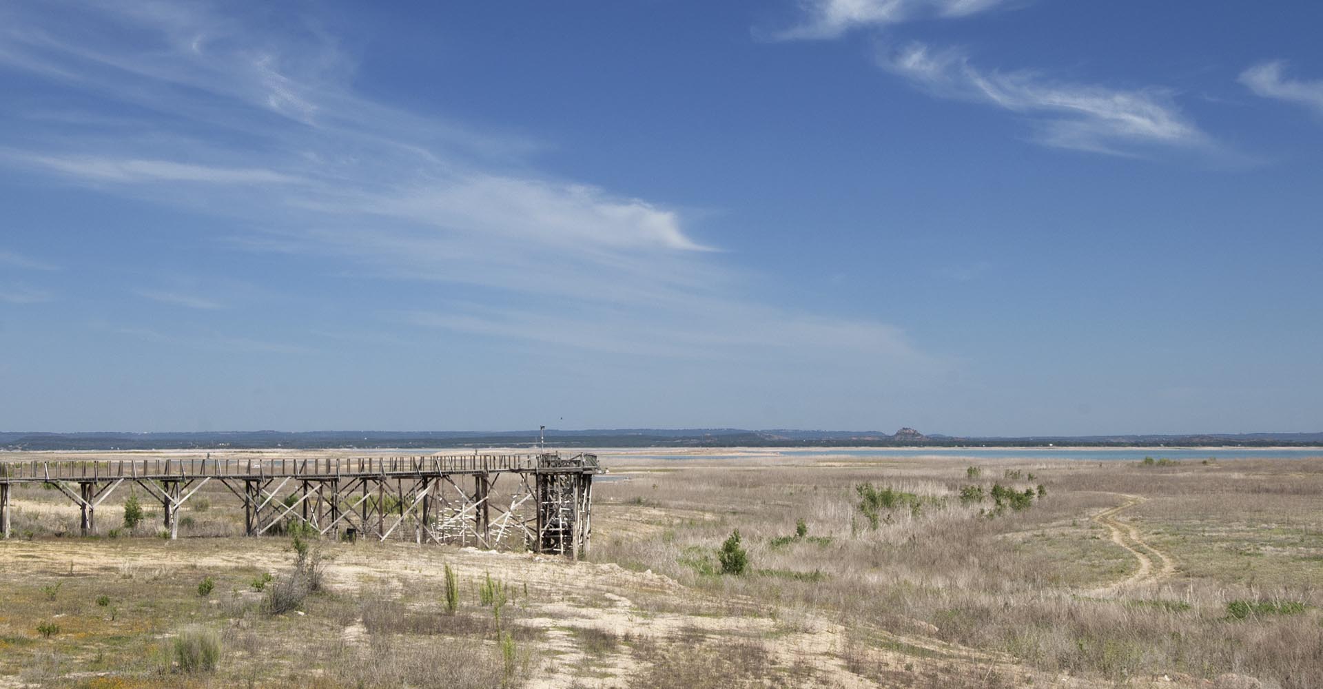
Image: Lakeway City Park on Lake Travis, 2011 Drought of Record, elevation approximately 630. The elevation for February 2024 was 631.34.   2023’s Heat Cost Texas $24 Billion First published at the Dallas Federal Reserve by Jayashankar et al., on October 18, 2023 Note: The National Oceanic and Atmospheric Administration’s (NOAA) Billion Dollar Weather Events…

Read More

Climate Change Across America Photographic Review PowerPoint 342 slides)

By Abrupt changes, Arctic warming, Beaches coastal, Climate Catastrophes, climate emergency, Drought, Extreme Weather, Flooding, forest health, Forest Mortality, frozen ground, Glaciers, in-depth and Popular Press, Permafrost, Permafrost melt, Presentations, Sea Level Rise, Shifting Ecology, The Unexpected, Tipping, Winter Weather

A Photographic Summary of Climate Change Across America Healthy Planet Action Coalition November 30, 2023 4:40 ET, 3:30 CT, 1:30 PT From Padre Island to the North Slope of Alaska: beach erosion, desert species mortality, fire, debris flow, native insect infestations, forest regeneration failure, extreme cold, epic drought, greening of the Arctic, and permafrost collapse……

Read More

Climate Change Across America Photographic Summary Zoom Presentation to Healthy Plant Action Coalition

By Gigs and Presentations, Impacts, in-depth and Popular Press

A Photographic Summary of Climate Change Across America Healthy Planet Action Coalition Presentation Zoom November 30, 2023 4:40 ET, 3:30 CT, 1:30 PT From Padre Island to the North Slope of Alaska: beach erosion, desert species mortality, fire, debris flow, native insect infestations, forest regeneration failure, extreme cold, epic drought, greening of the Arctic, and…

Read More

No need to ruminate for 20 years about 1.5°C. It’s coming in 2024. (Hansen – with commentary)

By Abrupt changes, aerosols, climate emergency, Climate Policy, climate restoration, Earth systems, La Nina, Point of No Return, Temperature, Tipping

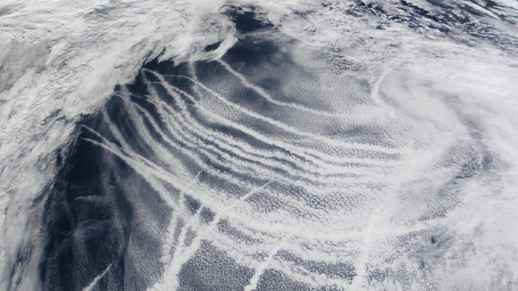
Ship Tracks captured in September 2009 by NASA imagery. These tracks are caused when sulfate emissions from burning fossil fuels create cloud condensation nuclei that result in the ship tracks seen in this image. These clouds are common and result in extra sunlight being reflected back into space, cooling Earth. No need to ruminate for…

Read More

“Gobsmackingly Bananas” Berkeley Earth on the 2023 Temperature Jump

By Abrupt changes, climate emergency, Extreme Weather, Heat, Temperature

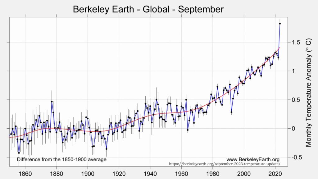
Berkeley Earth Temperature Anomaly for September, 1851 to 2023 “Gobsmackingly Bananas” – Berkeley Earth on the 2023 Temperature Jump September 2023 Temperature Update, Berkeley Earth First posted at Berkeley Earth, October 11, 2023 by Robert Rohde The following is a summary of global temperature conditions in Berkeley Earth’s analysis of September 2023: Globally, September 2023…

Read More

Instagram Filming Logs: Beetles, Fire and Regeneration Failure, September 2023 – Central Rockies

By Abrupt changes, forest health, Forest Mortality, Impacts, in-depth and Popular Press, Photo Tour, pine beetle, Shifting Ecology, Tipping, Vegetation Response

Instagram Filming Logs: Beetles, Fire and Regeneration Failure, September 2023 – Central Rockies Bruce Melton, ClimateDiscovery.org (Instagram logs with photos and video are below the summary.) Across the Central Rockies from the San Juans to Rocky Mountain National Park, beetle attacks are growing again. The beetles and  impacted trees are changing though. Gone are the…

Read More

Heat Extremes and the Future

By Abrupt changes, aerosols, climate emergency, Extreme Weather, Heat, Temperature, Tipping

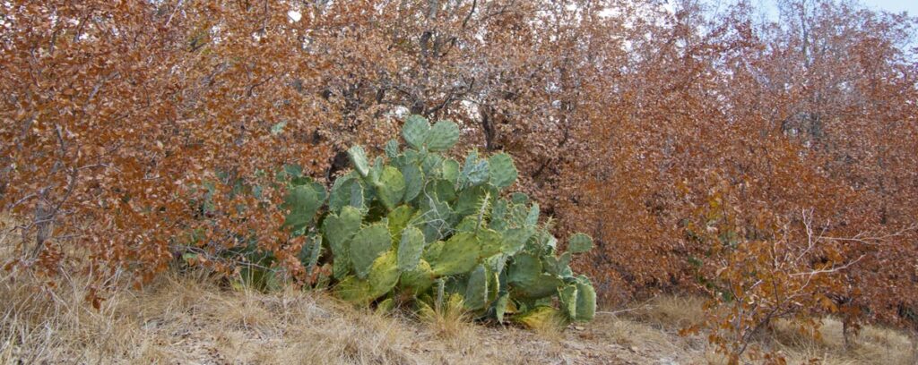
This is not autumn in Austin, but a particularly severe area of drought mortality.   Heat Extremes and the Future This years’ heat extremes have been caused by: Climate change of course, the effects of which are now in the nonlinearly increasing phase of climate change where we have significantly warmed above our old climate….

Read More

Windsor Park Climate Conversation Bruce Melton and Justin Schoof August 23, 2023

By Climate Catastrophes, Extreme Weather, Podcasts

Windsor Park Climate Conversation Bruce Melton and Justin Schoof August 23, 2023 – Record droughts in some area, record flooding in others. A polar vortex freezes Texas, then an atmospheric river replaces the waters of California overnight. All of these forces are at play in our daily weather patters and science is trying very hard to…

Read More

Red kill: Rocky mountain pine bark beetle, Steamboat Lake, Colorado Red kill: Rocky mountain pine bark beetle, Silverthorne, Colorado Red kill: Rocky mountain pine bark beetle, Rocky Mountain National Park, Colorado. Red kill: Rocky mountain pine bark beetle, North of Steamboat Springs, Colorado Pitch tubes: A tree's only defense against bark beetles. Pheromones, or natural beetle hormones, both attract and repel beetles and can be used as defense. Pesticides work too, but application timing is critical and spraying the world is likely improbable. Gray kill: During the first three years needles are bright red, brown and then fall off entirely. Only cold of -20 to -40 straight, in early and in mid winter respectively, can kill the beetle. Those temperatures disappeared about the turn of the 21st century. In areas of human occupation, dead trees become falling hazards quickly and must be removed. Blue slashes and flagging mark trees to be cut. These are white bark pine in Yellowstone National Park. Logged beetle kill, Prospector Campground, Dillon Reservoir, central Colorado. for up to about five years the dead wood can be used for lumber early and pelletized fuel late. After that the tops of the trees are too brittle and fall on logging machinery and loggers. Red kill: Rocky mountain pine bark beetles once attacked mostly lodgepole pines like these in Rocky Mountain National Park. Now there are so many beetles they are attacking even spruce trees. The scale of the kill is immense at more than 20 times greater than anything before. The attack is at 92 million acres.For comparison, Yellowstone is two million acres. Permafrost melt, Denali Highway, Alaska. Tree kill from soil saturation due to melted permafrost. East of Fairbanks, Alaska. Permafrost meltwater pool and drowned trees near Chena, Alaska. Permafrost meltwater ponds, Denali Highway, Alaska. Permafrost meltwater pond, Fairbanks, Alaska (within city limits). A meltwater river flows from beneath the Greenland Ice Sheet. The dark ice is dust from eons of accumulation and surface melt. Ice loss in Greenland has increased over 500 percent in ten years. Surface melting creates a very rough, surface where accumulated dust does not wash away. These drifts are solid ice. Around the perimeter of the ice sheet at low elevations the ice is melting tens of feet per year or more. The scale of melt is immense. This moraine is 100 feet high and the ice once towered over it. The ice flows in rivers and tongues and colder, drier times with more dust can be seen in the layers of older ice, closer to the edge. Also note how much lower the surface is than the moraines deposited along the margins of the ice. Most of this melt is recent as the ice has been in equilibrium since the Little Ice Age that ended 150 to 200 years ago. Less than a mile from its edge the ice sheet can be 1,000 feet tall. At it's center it is 11,000. The calving face of the ice sheet can be over 200 feet tall. The light is fantastically ever changing. Ilulissat Icefjord: Millions of icebergs , five times more than at the turn of the century, pour through Greenland's icefjords. Meltwater drains to the bottom of the ice sheet through holes, or moulins. There it lubricates the flow of the ice sheet, further increasing discharge of bergs. Bubbles of ancient air trapped in the ice have confirmed many hypothesis about how and when our climate has radically changed before. Bergs calve like thunder from massive ice cliffs at all hours of the day. Beach erosion is rapidly accelerating on Padre Island. Mile 30 beyond the 4x4 only sign. This beach was once 200 to 300 feet wide. Padre Island National Seashore, mile 7. Most of the erosion has been recently. Mile 50, Padre Island National Seashore. Padre Island is sinking naturally with little man made subsidence, but before the turn of the 21st century, it wasn't enough to cause massive beach erosion. Sand starvation from inland reservoirs plays a role too, but historically these beaches have been stable. South Padre Island has a little more trouble with more sand starvation from the Rio Grande and less rainfall to grow stabilizing dune grasses. Here, in places erosion is extreme. this is high tide, non-storm conditions. Several places along South Padre have been eroding more or less since the dams went up on the Rio Grande, but since the turn of the century the rate has likely increased significantly. October 2014, King tide, biggest tide of the autumn. Again in 2014, no storms of any consequence on the Texas Coast. Erosion down by the Mansfield jetties is much greater than in 2013. The worst on North Padre in 2013 was a few miles from the Mansfield Pass jetties in the sand starvation zone. The beach has never been wide here and during storms is often the first to erode. But normally, the beach builds back. This erosion is happening in non-storm conditions. At times the four-wheel drive trail is challenging. South Padre, Mile 13 beyond end of pavement. This is the first stage of barrier island disintegration. The beach goes first. The beach protects the dunes, which in turn protect the rest of the island.